Geographic Imager Orthographic Reprojection

Hi there,
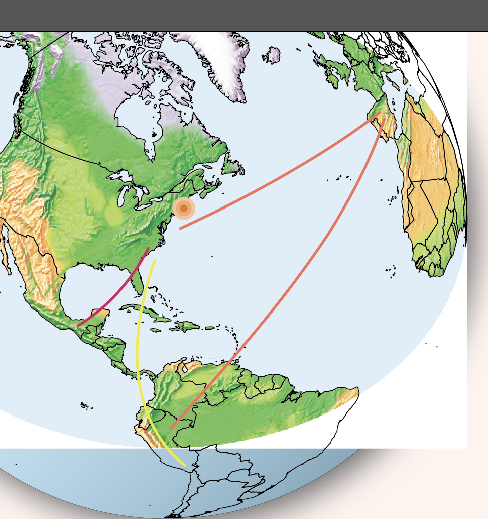
I have a world TIFF in WGS84 that I'd like to reproject into an Orthographic centered on 75W 40N. When I do this with my vector data in MAPublisher, I correctly get a circle with the vector data going all the way to the edges.
When I perform this in GI (using the same protection file from MAPubslisher), the result is oval shaped and large portions north and south of the focal point are cut off.
The attached images show the TIFF I started with, and then the result layered under the vector result in MAPublisher. Here is the .wkt projection data:
PROJCS["Copy (2) of : Orthographic, meter",GEOGCS["WGS 84",DATUM["wgs_1984",SPHEROID["WGS 84",6378137,298.257223563]],PRIMEM["Greenwich",0,AUTHORITY["EPSG","8901"]],UNIT["degree",0.0174532925199433,AUTHORITY["EPSG","9102"]],AXIS["Geodetic longitude",EAST],AXIS["Geodetic latitude",NORTH],AUTHORITY["EPSG","4326"]],PROJECTION["Orthographic"],PARAMETER["false_easting",0],PARAMETER["false_northing",0],PARAMETER["latitude_of_center",40],PARAMETER["longitude_of_center",-75],UNIT["Meter",1,AUTHORITY["EPSG","9001"]],AXIS["Easting",EAST],AXIS["Northing",NORTH]]
Any ideas?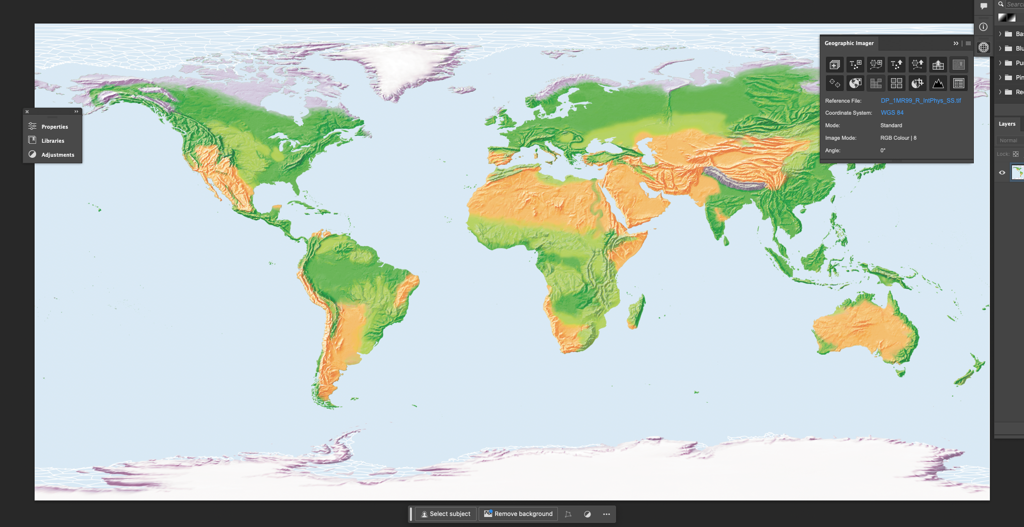
Please sign in to leave a comment.
Comments
0 comments