1. Create a new Adobe Illustrator document.
2. Import torontostreetsjoined.mif and fsatoronto.mif from the Tutorial Data folder.
3. Double-click the MAP View and perform a coordinate system transformation to NAD83 / UTM zone 17N.
4. With all data on both layers selected, open the MAP Attributes panel.
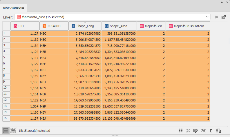
Examine the table structure and map attribute records. Deselect the data and close the MAP Attributes panel. If necessary, symbolize the layers so that the features are distinguishable.
5. Click the MAP Vector Rectangle Erase Tool from the main Adobe Illustrator Tools panel.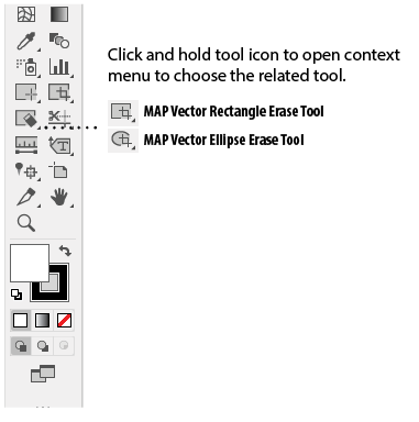
Notice the mouse cursor has changed to a crosshair.
6. Click once near the center of the map. This opens the MAP Vector Erase dialog box.
7. In the Dimensions section, enter a width of 2000 and a height of 4200 (meters). In the Target section, choose Only and choose the torontostreetsjoined_line layer in the drop-down list.
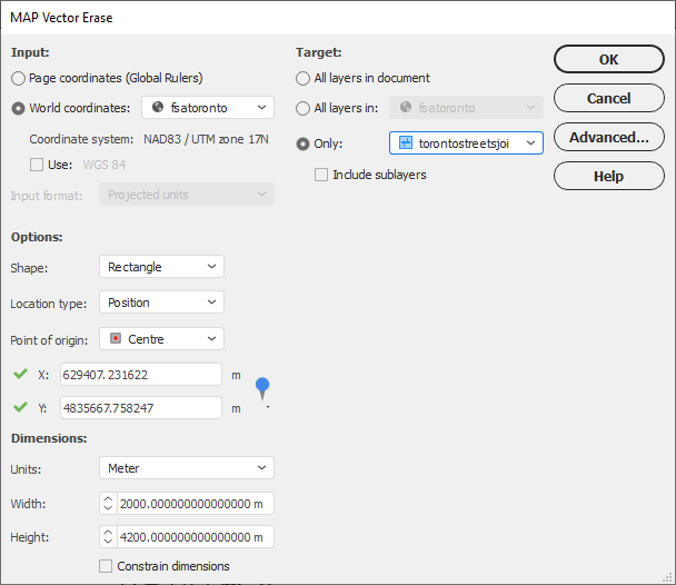
Move the dialog box out of the way to see a preview of the crop area size. This will give you an idea of what section of the data will be cropped. The crop should only target torontostreetsjoined_line layer and the streets will remain untouched.
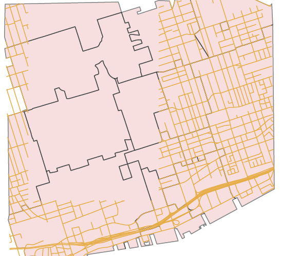
8. Click OK to complete the crop.
The torontostreetsjoined_line layer is erased to the crop extent and the boundary areas were untouched because they were not included as a target.
9. In the Adobe Illustrator Tools, click and hold the MAP Vector Erase Rectangle Tool button to choose the Ellipse Erase Tool. On the artboard, click and drag an ellipse to draw a crop extent. Release the mouse button to complete the crop.
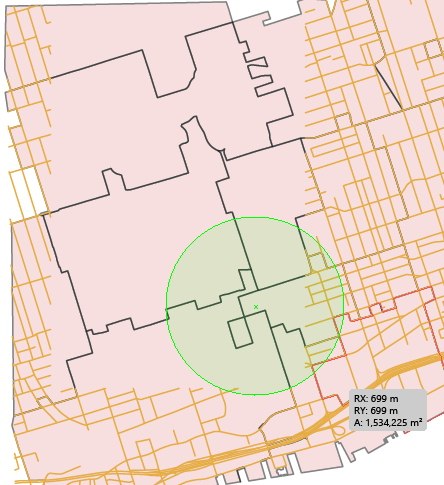
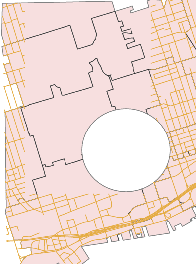
BEFORE AFTER
 To achieve a proportional crop area, hold the Shift key while dragging the crop area.
10. Once again, select all data in both layers and open the MAP Attributes panel.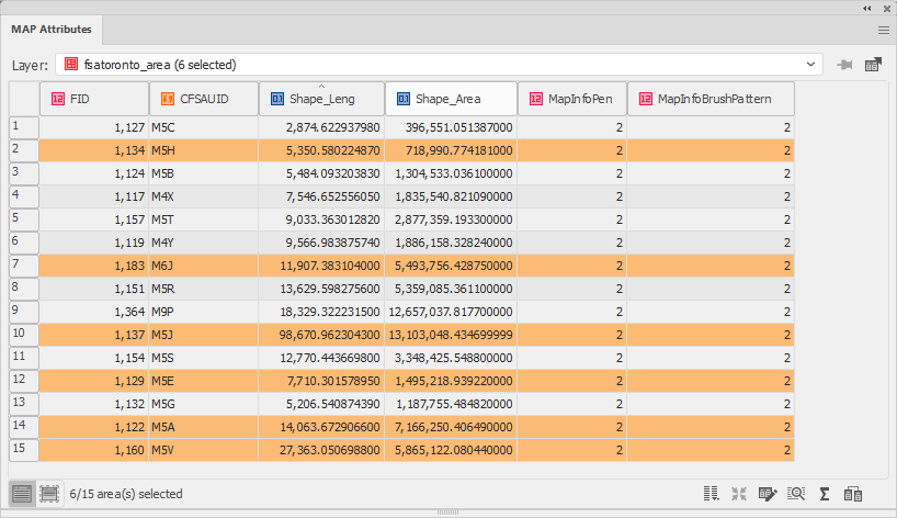
Notice that the attributes have been maintained, but there are fewer features because of the erase. Your results may differ based on your own cropping settings.
11. Close the document without saving.
Comments
0 comments
Please sign in to leave a comment.